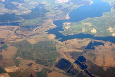
The Environment Agency has information on less than half of the UK river networks
In its response to Sir Michael Pitt’s review of flood risk in the UK, Risk Management Solutions (RMS) has highlighted the urgent need for an accurate database of information on flood defences.
The Environment Agency currently has information about defences for less than half the 21,000 kilometres of major river networks in the UK, seriously hampering attempts to quantify flood risk.
Pitt was asked by the Government to conduct an independent review of the flooding emergency that took place in June and July 2007. After seeking feedback from organisations and the public, he is to recommend measures to minimise future risk.
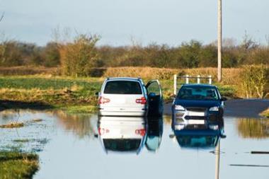
“Last summer’s floods painfully demonstrated how destructive and costly extreme flooding can be,” said Bob Ward, director at RMS. “There is a pressing need to manage flood risk more effectively, but a lack of basic information on whether defences even exist along certain parts of major rivers creates significant obstacles. The Government has a social and financial responsibility to invest more resources in compiling a comprehensive database of information.”
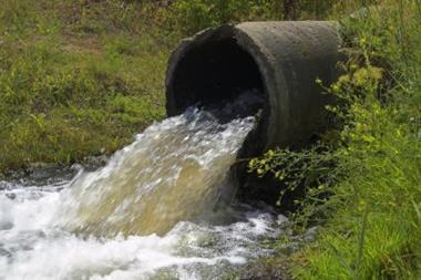
As well as data on flood defences, RMS has emphasised the need to examine all sources of flood risk. The Environment Agency’s maps only include flood risk from coasts and major water courses, and do not take account of ordinary water courses and flash flooding. For example, the Agency’s map for Kingston-upon-Hull, which experienced extensive flash flooding last June, categorises many of the areas as just being at risk of coastal flooding.
“The Environment Agency has only been given a mandate to assess the risk of river and coastal flooding, so other major sources of risk are not included in its maps,” said Ward.
“The UK is unusual in that the private insurance market offers flood coverage as standard in its policies for property damage. The Government benefits from the existence of this market and would otherwise have to cover the costs if a major flood occurred. Therefore, if insurers are to continue offering coverage for homeowners, the government needs to understand the true picture of flood risk and implement appropriate protection measures.”
Additionally, the Environment Agency’s maps are based on risk estimates for each location, and do not provide information on the risk of simultaneous flooding across an area or several areas from the same event. More comprehensive risk models used by the insurance industry are able to assess the probability of correlated risks and could also help with emergency planning.
“There is a clear opportunity for the Government and its agencies to work with the insurance industry to devise mutually beneficial strategies for dealing with flood risk,” said Ward.